

El Niño is officially here, and it is gearing up for a long stay.
Climate models indicate the weather phenomenon is nearly certain to last through this fall and winter, stretching well into spring 2027.
During a recent briefing, Columbia University climate scientist Azhar Ehsan presented data showing the probability of El Niño lasting until spring was “100% to 99%.” NOAA’s Climate Prediction Center agrees the pattern is sticking around for at least six more months.
A historic acceleration
This El Niño is not just expected to be long. It is accelerating faster than any El Niño in recorded history. Meteorologists expect it to reach rare “super” strength in the coming months.
This rapid growth will have a substantial impact on our daily forecasts. It is already altering hurricane season by fueling Pacific storms while keeping the Atlantic unusually quiet.
What this means for NYC
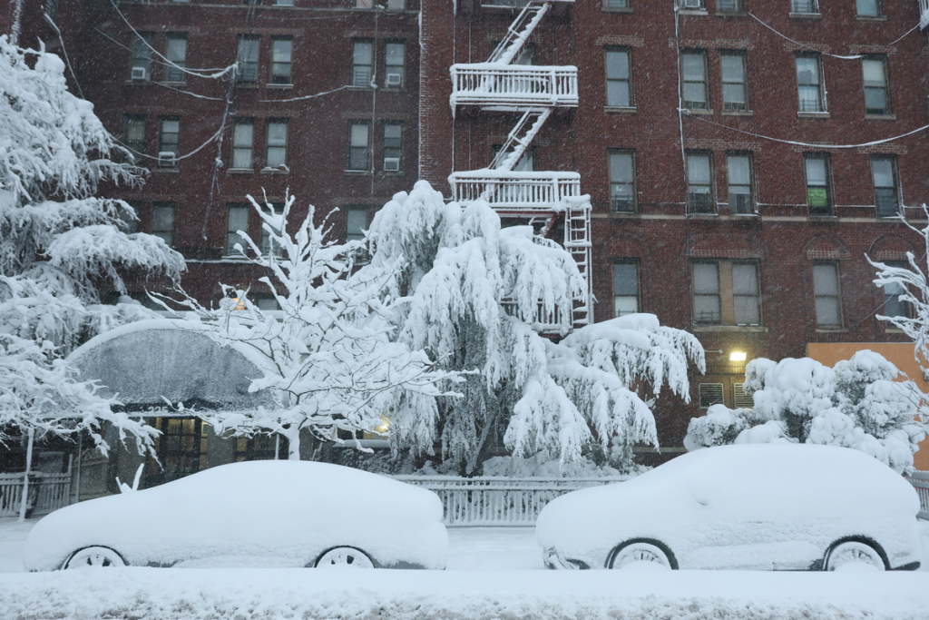
As we head into winter, El Niño will split the country. Broadly speaking, northern states will be drier and warmer than normal, while southern states will face cooler, wetter conditions.
For New Yorkers, a strong El Niño usually pulls warmer air up into the Northeast. While inland areas like Upstate New York will likely see heavy, dense snow, the five boroughs are facing a different reality.
NYC is highly likely to experience a messy mix of heavy rain, sleet, and slush. Coastal temperatures are expected to hover right around the freezing mark.
We will still get occasional blasts of cold air, but the overall pattern does not favor a snowy winter for the city.
Looking ahead to spring 2027
We will be dealing with El Niño for a while, but it will not stay at peak intensity the entire time. The Climate Prediction Center expects it to weaken from “very strong” to “strong” by early spring.
It will eventually drop into the “moderate” category by next summer.
If you were hoping for a pristine winter wonderland this year, you might want to manage your expectations and invest in a good pair of waterproof boots.