
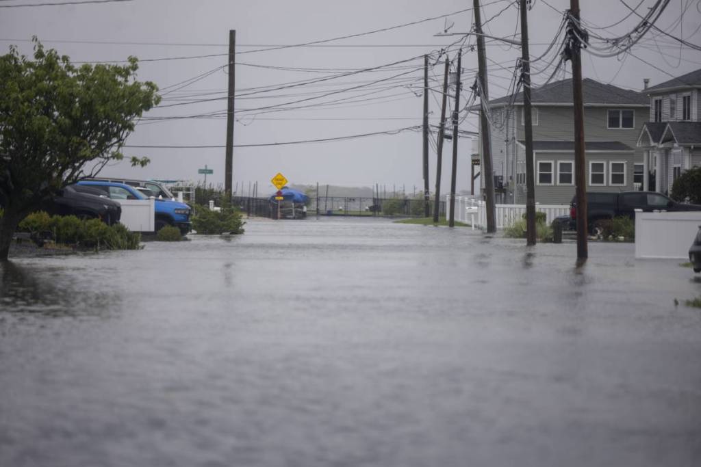

A rare September nor’easter is aggressively battering the East Coast right now.
The intense storm just drove Atlantic City’s floodwaters to 3.26 feet above normally dry ground.
Yes, these numbers are real and staggering. This marks the highest flood water level the area has seen since ‘Hurricane Sandy’ brought a 4.16-foot rise in 2012.
If you are wondering how this impacts the tristate area, the effects are widespread. Here is everything you need to know about the ongoing coastal emergency.
Historic flooding and extreme beach erosion
The massive storm system stalled off the Mid-Atlantic coast all weekend. It dumped heavy rain on coastal communities and brought wind gusts up to 74 mph.
The severe high tides triggered dangerous flooding in Atlantic City. First responders rushed to rescue locals as water reached knee-high levels. The storm submerged cars, flooded homes, and severely damaged streets near the bay.
It also caused extreme beach erosion. Officials report that a half-mile stretch of beach north of the Steel Pier was practically washed away by the surf. This is the worst erosion the Jersey Shore has witnessed in over a decade.
Emergency declarations across the tristate area
The slow-moving storm forced rapid government action. New Jersey Governor Mikie Sherrill declared a state of emergency across eight counties.
At the height of the storm, power outages knocked out electricity for over 136,000 regional customers.
New York is actively dealing with the fallout, too. Governor Kathy Hochul issued an emergency declaration for New York City, Long Island, and Westchester County.
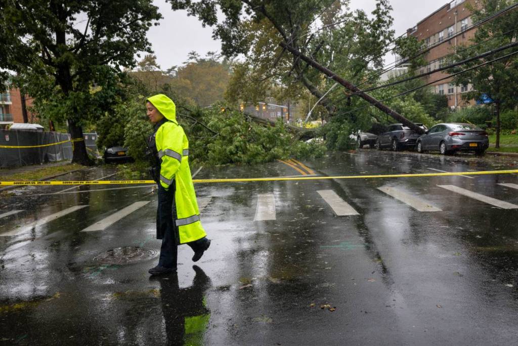
Wild rainfall totals hit New York and New Jersey
Heavy downpours left communities completely soaked. Long Island took a brutal hit from the storm, with Orient Point recording a staggering 10.40 inches of rain.
Here is how the rainfall totals broke down across the region, according to PIX11:
New York rainfall totals:
- Orient Point: 10.40 inches
- Commack: 4.83 inches
- Eastport: 4.40 inches
- East Setauket: 4.18 inches
- Saint James: 4.07 inches
- Syosset: 4.01 inches
- East Hampton: 3.55 inches
- Long Beach: 3.50 inches
- Ozone Park: 3.38 inches
- Coney Island: 2.44 inches
New Jersey rainfall totals:
- Voorhees: 5.02 inches
- Point Pleasant: 4.88 inches
- Neptune: 4.88 inches
- Holmdel: 4.82 inches
- Wall Township: 4.63 inches
- Old Bridge: 4.48 inches
- Seaside Park: 4.17 inches
- Woodbridge: 2.69 inches
- Tenafly: 2.04 inches
What to keep in mind if you are in the area
While the storm system is finally beginning to pull away, minor to moderate coastal flooding threats remain.
Do not attempt to drive or walk through standing floodwater. Always treat downed power lines as live electrical hazards.
If you commute between NYC and the Jersey Shore or Eastern Long Island, expect lingering transit delays and road closures. Keep an eye on local emergency alerts before heading out.