
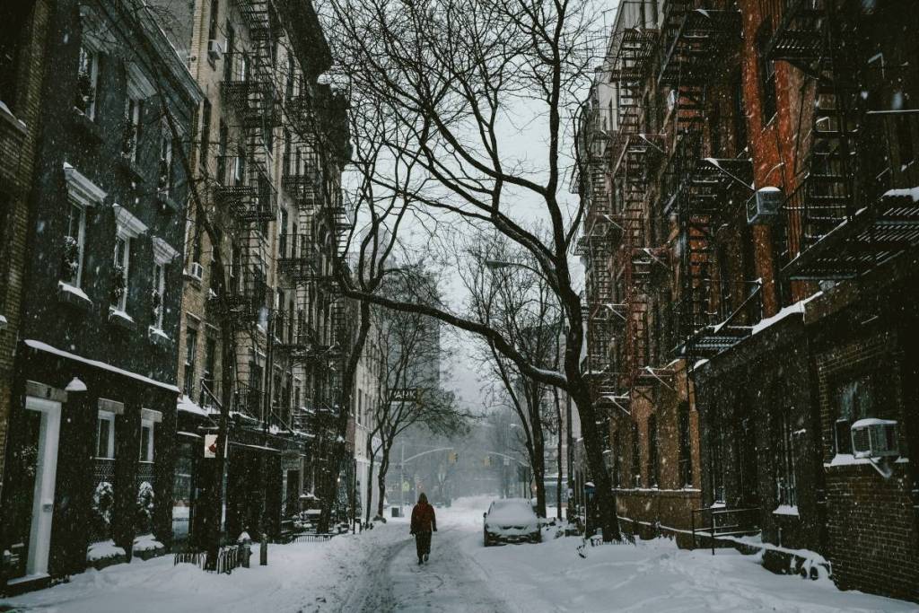

The first leaves of autumn are just beginning to fall here in NYC, and we surely aren’t ones to rush our favorite city’s most colorful season! Even so, winter weather is inevitable, and new reports have just dropped, giving us a glimpse into what we can expect.
According to the Farmers’ Almanac, an active winter pattern could bring fluctuating temperatures along the East Coast, turning classic winter storms into a unpredictable mix of snow, sleet, and rain.
Adding to the dynamic pattern, a strong El Niño is expected to dominate the atmospheric cycle. The National Weather Service (NWS) climate prediction models indicate a high likelihood of El Niño shaping the Eastern Seaboard’s storm track, keeping coastal temperatures hovering near the freezing mark.
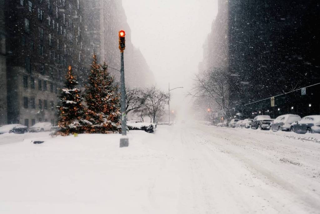
What is the general forecast for this winter in the NYC region?
Get ready for a classic East Coast wild card!
The Farmers’ Almanac notes that the city’s coastal location and urban heat can push its first accumulating snow later than nearby inland areas, with snow generally becoming more possible from November into December.
Meanwhile, the National Weather Service emphasizes that snowfall can vary significantly depending on individual storm tracks and temperatures, so NYC could see anything from rain and mixed precipitation to accumulating snow when conditions line up.
According to NWS climate definitions, winter weather events are tracked across clear accumulation thresholds:
- First Flakes: Flakes observed falling that may melt immediately without leaving accumulation.
- Measurable Snowfall: An accumulation of at least 0.1 inch of snow, which serves as the official threshold for NWS climate records.
- Significant Snowfall: An accumulation of 1 inch or more.

When will the city experience its first snow?
While November is common for the interior Northeast and Great Lakes, historical data indicates that locations in New Jersey, Pennsylvania, and downwind coastal areas often wait until late November or December for accumulating snow. Localized conditions can shift these dates significantly across nearby areas:
- Urban Heat: Large cities retain more heat than surrounding rural areas, which can cause wet snow to melt on contact rather than stick.
- Ocean Proximity: Coastal water moderates surrounding land temperatures, frequently delaying snowfall along Atlantic coastal points compared to inland areas at the same latitude.
- Elevation & Latitude: Colder air at higher elevations and decreasing daylight in northern latitudes trigger earlier snow events.
Why NYC weather fluctuates near the coast
Early snow in NYC comes down to a delicate balance of geography and temperature. The urban heat island effect keeps densely built areas like Manhattan, Brooklyn, and Queens a degree or two warmer than nearby suburbs, which can turn snow into rain.
Coastal waters around Long Island and the harbor also moderate temperatures, keeping the city warmer than inland spots like the Hudson Valley or northern New Jersey. And then there’s the rain-snow line: when temperatures hover around 32°F, even a small shift in a storm’s track can mean the difference between a light dusting and a cold, sloppy rain.
For now, though, we’ll be soaking up every last bit of autumn in NYC while we can! Whether you’re already dreaming of snow days or hoping winter stays far, far away, there’s still plenty of fall magic to enjoy around the city!