


Fall has officially arrived in New York City—but it didn’t come alone.
A rare September nor’easter is strengthening off the East Coast and tracking closer to NYC than earlier forecasts suggested, with the latest predictions calling for rain, gusty winds, coastal flooding, and rough surf from Friday through the weekend.
The storm’s exact track is still evolving, but the National Weather Service says a coastal storm is now likely to bring rainfall and gusty winds to the region from Friday into the weekend, while coastal flooding and beach flooding/erosion are expected to be the biggest concerns Friday and Saturday.
And there’s a notable update for New Yorkers: the storm’s track has shifted a little closer to the city, according to National Weather Service meteorologist James Connolly, who told the New York Daily News that forecasters are increasing the rainfall forecast for NYC.
Now, NYC Mayor Zohran Mamdani is urging New Yorkers to prepare for gusty winds, rain, and coastal flooding.
So, unfortunately, you may want to rethink those outdoor plans.
The nor’easter is now tracking closer to NYC
Earlier forecasts suggested the storm would stay farther offshore and largely spare New York City from its worst impacts.
That’s still broadly the case—but the latest forecast has shifted the system closer to the region, meaning NYC could see more rain than previously expected.
The storm is developing into a full blown nor’easter offshore Thursday, with a coastal low moving north along the Atlantic. The National Weather Service says the system will bring rainfall and gusty winds Friday into the weekend, while the greatest coastal flooding and beach flooding/erosion impacts are expected Friday into Saturday.
The exact track and intensity remain uncertain, however, and those details will determine just how rough things get across the five boroughs.
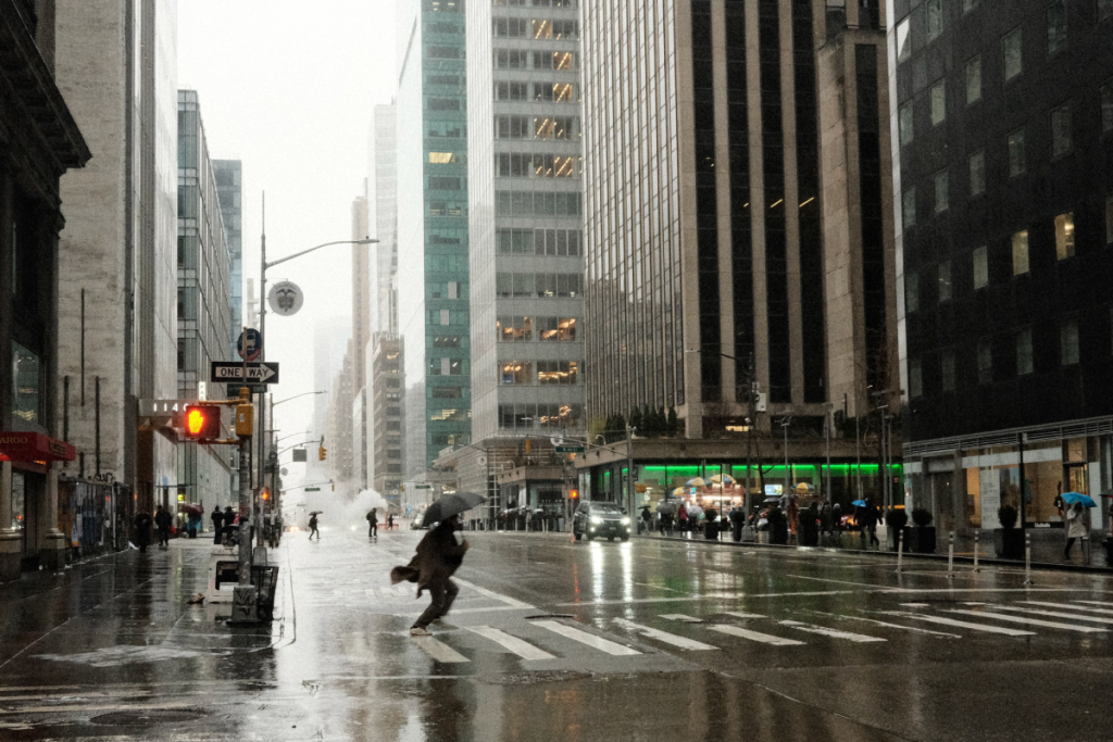
NYC could get 1 to 1.5 inches of rain
According to NYC Emergency Management, the city is currently expected to receive approximately 1 to 1.5 inches of rain from Friday afternoon through Sunday, with the heaviest rain staying east of NYC.
The latest National Weather Service forecast shows rain chances increasing Friday afternoon, with showers becoming more likely Friday night and Saturday. Showers could continue into Sunday.
The New York Daily News reports that NYC’s expected rainfall total has increased to more than an inch, while northeastern New Jersey could see 1 to 2 inches.
The heaviest rain is still expected farther east, particularly across eastern Long Island and into New England. The Weather Channel likewise says the greatest rainfall totals in the NYC metro are expected across eastern Long Island, with lighter amounts farther west.
So NYC isn’t currently facing a major rainfall event on the scale of some of the region’s more memorable storms—but it’s looking like a decidedly soggy weekend.
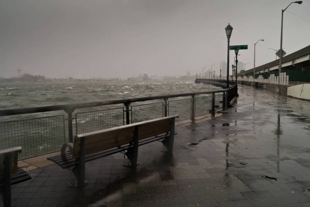
Winds could gust up to 40 mph in NYC
Rain isn’t the only thing New Yorkers will have to contend with.
NYC Emergency Management says winds are expected to increase late Friday into Saturday morning, with gusts reaching up to 40 mph in the city.
The National Weather Service says the strongest winds will generally be closer to the coast, with the most significant impacts expected across eastern Long Island and coastal New England.
The latest NYC-area forecasts are calling for breezy to windy conditions throughout the weekend, with northeast winds becoming particularly noticeable Friday night and Saturday.
That could mean a pretty unpleasant combination for anyone trying to spend the weekend outside: rain + chilly temperatures + strong winds.
And because the storm is still evolving, those wind forecasts could change as the system gets closer.
Coastal flooding is a major concern
If there’s one part of this storm that New Yorkers should pay particularly close attention to, it’s coastal flooding.
The National Weather Service says coastal flooding and beach flooding/erosion are expected this week, with the greatest impacts Friday through Saturday. A high rip-current risk will also persist into the weekend.
In fact, the NWS has already issued a coastal flood statement for parts of Brooklyn and southern Queens, warning of up to one foot of inundation above ground level in vulnerable areas near the waterfront and shoreline.
Parts of Long Island are also under coastal flood advisories, with a coastal flood watch in effect Friday evening into Saturday morning in some areas.
For NYC, the concern is primarily around low-lying coastal neighborhoods and waterfront areas, particularly during high tide.
Strong northeast winds push water toward the shoreline, while elevated astronomical tides from this weekend’s full moon can make flooding worse.
The National Weather Service says increasing astronomical tides could contribute to minor to locally moderate coastal flooding, particularly Friday and Saturday.
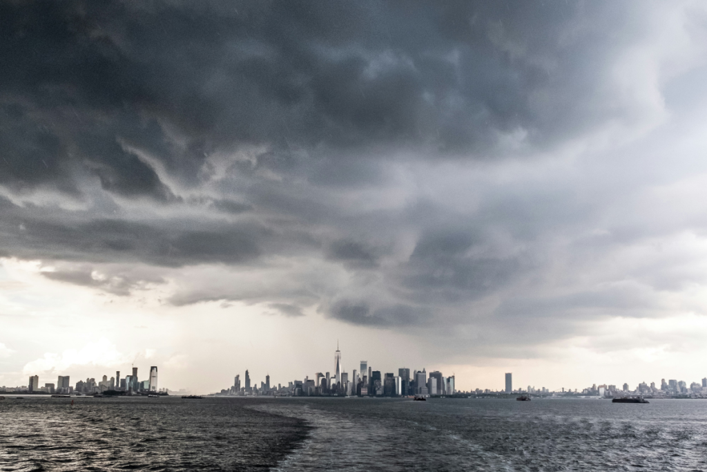
The beaches could get rough, too
The storm is also expected to bring high surf, dangerous rip currents, and beach erosion to the region.
The National Weather Service says a high rip-current risk will persist into the weekend and that high surf is possible, particularly Friday and Saturday.
And the situation is already getting rough offshore.
The NWS has extended gale warnings over ocean waters, while northeast winds are building along the coast.
Farther east, eastern Long Island could see some of the storm’s strongest winds and waves. The Weather Channel reports that gusts of more than 50 mph are possible in parts of eastern Long Island and coastal New England, where the storm’s strongest impacts are expected.
The combination of persistent onshore winds, high surf, and elevated tides is also expected to contribute to beach erosion.
Here’s when NYC will feel the storm
Here’s the current general timeline for New York City:
- Friday: Rain chances increase during the afternoon, with showers becoming more likely Friday night. Winds also pick up, particularly along the coast
- Saturday: This is currently expected to be the wettest and windiest day for NYC, with showers, gusty winds and the greatest coastal flooding concerns. The NWS says Friday into Saturday should bring the greatest coastal flooding and beach flooding/erosion impacts
- Sunday: The storm gradually weakens, but showers and breezy conditions could linger across the city
Conditions are then expected to gradually improve as the storm moves farther offshore.

The storm is still evolving
Even with the forecast becoming clearer, meteorologists aren’t ready to call the NYC forecast completely locked in.
The National Weather Service says there are still track and intensity uncertainties, particularly regarding how close the system gets to the coast and how long it lingers.
That matters because even a relatively small shift in the storm’s track can change where the heaviest rain and strongest winds end up.
For now, the forecast suggests NYC will get a wet and windy weekend, but the heaviest impacts should remain farther east, particularly across eastern Long Island and New England.
Still, with coastal flooding already being flagged in parts of the NYC area, New Yorkers who live near the water or are traveling this weekend will want to keep an eye on the latest forecast.
Because apparently September wasn’t content to simply give us fall weather—it had to bring a whole nor’easter with it.