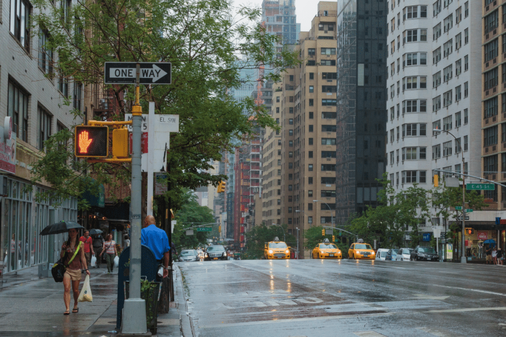
The weather in NYC absolutely has not been playing around these past few months–with air quality hazards, a suffocating heatwave, record-breaking temps…shall we go on?–and the same rings true for tonight as we brace for another round of high risk, severe weather.
Early morning thunderstorms this morning caused NYC’s flash flood plan to be activated, and the current forecast is showing there’s more where that came from.
According to AccuWeather, intense weather is making its way along the East Coast, bringing with it volatile storms that are threatening damaging winds, hail, and potential tornadoes.
New York Metro Weather states, however, that there’s a higher risk of tornadoes to the west of our area.
“Showers and thunderstorms likely, mainly between 8pm and 2am. Some of the storms could produce gusty winds and heavy rain. Mostly cloudy, with a low around 73. South wind 11 to 18 mph, with gusts as high as 28 mph. Chance of precipitation is 70%. New rainfall amounts between a quarter and half of an inch possible,” reads the National Weather Service’s official forecast.
A rip current statement is also in effect through 9 p.m. tonight.
New Yorkers can keep up with tonight’s weather by signing up for Notify NYC.

