
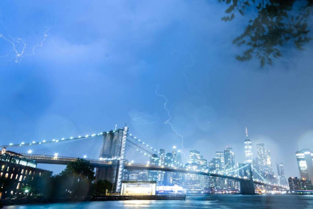

When it rains, it pours in New York City—and we’re not just talking about our endless lineup of festivals, food, and summer events.
After last week’s record-breaking heat dome turned the Fourth of July weekend into a sweltering one, the city has traded triple-digit temperatures for a completely different kind of weather headache.
A powerful storm system has settled over the region, bringing heavy downpours, damaging wind gusts, and the threat of flash flooding across our favorite city and its surrounding areas.
The worst of the rain was expected to hit during Monday morning’s commute, with forecasters warning that rainfall could overwhelm streets, disrupt transit, and create hazardous travel conditions. If you’re heading out today, you’ll want to leave yourself some extra time—and maybe keep those rain boots handy.
Flash flood warning issued for NYC as heavy rain pounds the region
The series of powerful summer storms has put the New York metropolitan area on high alert.
The National Weather Service (NWS) issued a comprehensive Flood Watch across the tri-state area as Doppler radar indicates intense, localized bands of heavy rainfall pounding the five boroughs.
City infrastructure is already proceeding with caution, with transit agencies notifying commuters of extensive system delays and targeted line suspensions.
When the worst of the rain is expected
Timing is everything when it comes to navigating city transit, and unfortunately, the heaviest deluge aligned directly with the peak morning rush hour.
According to emergency management notices from the Mayor’s office, the most dangerous travel window was expected to last until 10:00 a.m. Monday, bringing a combination of visibility-blinding rain and wind gusts reaching up to 50 mph.
While the extreme commuter bottlenecks are the immediate focus, the NWS Flood Watch warns that multiple waves of scattered thunderstorms will continue to develop and threaten the region through late Monday night.
How much rain could fall across NYC
The incoming weather system is highly saturated, posing an immediate threat to the city’s drainage capacities. Meteorologists project the following rain accumulations:
- Total Accumulation: Widespread rainfall totals of 2 to 3 inches, with isolated, locally higher amounts leaping past 4 inches.
- Hourly Rates: Downpours could dump up to 2 inches of rain per hour, a rate that rapidly triggers severe urban flash flooding.
How to stay safe during flash flooding
In response to the severe weather threat, Mayor Zohran Mamdani announced that city agencies have fully mobilized emergency response protocols. Crews have been deployed to clear catch basins, inspect historically flood-prone streets, and check on vulnerable basement apartments.
To keep yourself and your family safe, emergency officials recommend these essential safety measures:
- Expect Commuter Disruptions: Check your transit status before leaving. Early reports indicate delays across the 1, 2, and 3 subway lines, major cancellations on the LIRR (Montauk and Oyster Bay branches) and Metro-North, alongside service suspensions on NJ Transit’s Raritan Valley, Morris & Essex, and Gladstone lines.
- Avoid Sub-Grade Spaces: Residents living in basement-level apartments should monitor water levels closely and be prepared to move to higher ground immediately if flooding begins.
- Turn Around, Don’t Drown: Never attempt to drive or walk through flooded roadways. As little as six inches of moving water can knock an adult off their feet or cause a vehicle to lose control.