

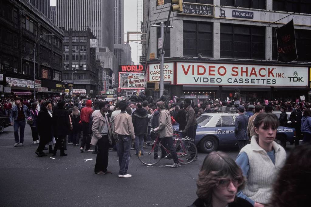
New York City today looks nothing like it did in the 1980s. The skyscrapers, the storefronts, even entire neighborhoods have changed dramatically. But now, thanks to a remarkable project, you can step back in time and see exactly what the city looked like four decades ago—no time machine required.
A Map That Lets You Walk Through the ’80s
The website 80s.NYC takes more than 800,000 photos from the New York City Municipal Archives’ Department of Finance Collection and transforms them into a street-level view of the five boroughs in the 1980s.
Every single building, from Manhattan’s iconic avenues to Brooklyn’s brownstones and even vacant lots, was photographed in the mid-1980s for tax purposes. The result? A stunning, searchable archive that captures the city street by street, block by block. The project explains:
Because it was difficult to tell taxable from tax-exempt buildings, photographers just shot everything. That decision created one of the most complete urban photo archives ever made.
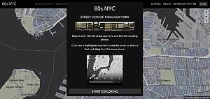
How to Explore 1980s NYC
Using the map is simple:
- Click on any street segment to see the photos captured there
- Or, type in a specific address to see what your apartment, favorite bar, or even childhood block looked like decades ago
There’s also a “Stories” section, where curated blurbs highlight unusual buildings, fascinating photos, and forgotten moments of city history. More stories are expected to be added through crowd-sourced contributions.
What You’ll Find
Some streets may only have one photo if a large building took up the block, and a few addresses may be missing, but with over 100,000 streets and 800,000 buildings documented, the collection is as close to a full 1980s “Google Street View” of New York City as it gets.
Ready to Time Travel?
Whether you want to see what your current building looked like in the ’80s, revisit a long-gone neighborhood bar, or simply lose yourself in vintage city streets, this map is the ultimate portal to old New York.
👉 Explore 1980s New York City here with 80s.NYC.