
If google “street view” were invented in the 1800’s, then you’ve got something like oldnyc.
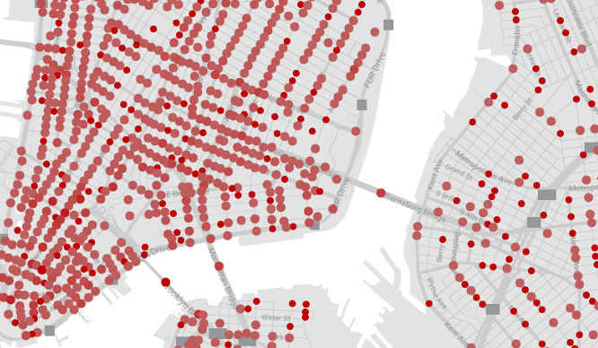
In reality the site offers you an alternative way of browsing New York Public Library’s “Milstein Collection”, photos of the city from the 1870s-1970s, but laid out over a map of the city so you can take a virtual tour of old NYC.
While many photographers have images featured in the collection, the majority of its photos are the work of Percy Loomis Sperr, a man who documented changes in the city from the late 1920s to the early 1940s.
The site was built by Dan Vanderkam, a Brooklyn based software developer. Check out the site in the window below or visit the site HERE.
Featured image source: [oldnyc]