
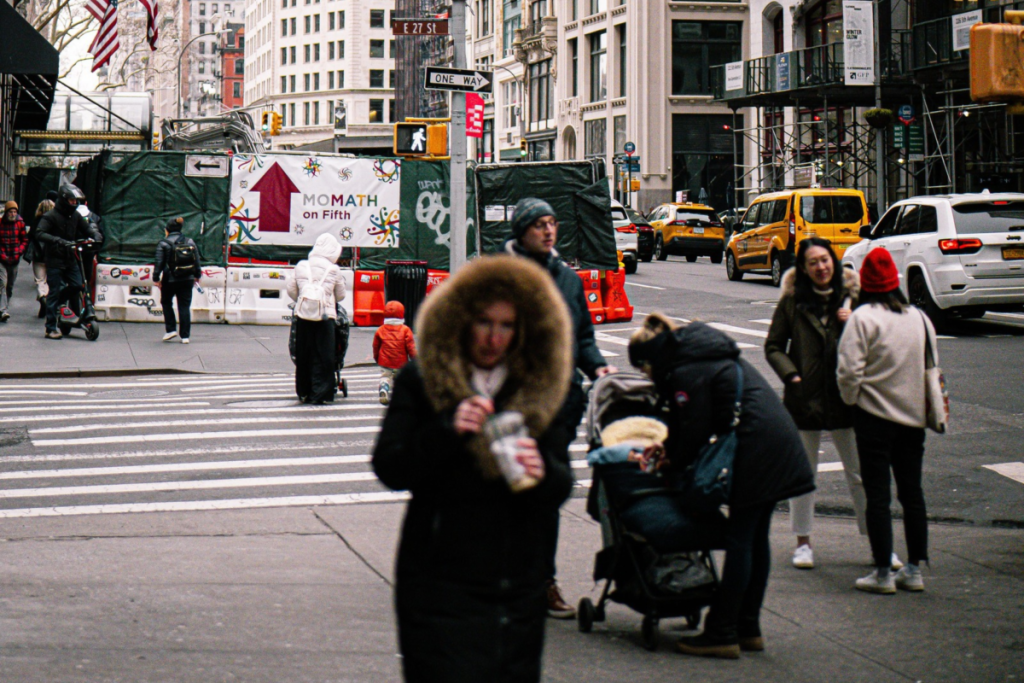

If you have plans tonight you might want to break out that trusty puffer jacket. Fall has officially arrived in New York City, and the tri-state area is about to feel a significant overnight chill.
Despite a sunny daytime high near 66º—with a RealFeel closer to 70º—temperatures across the five boroughs are set to plummet nearly 20º overnight.
According to NBC, mostly clear skies and light winds are setting the stage for the city’s coldest night of the season since May.
While the immediate New York metropolitan area will stay in the mid-to-upper 40s, surrounding regions are bracing for much colder conditions.
The National Weather Service (NWS) has issued widespread freeze warnings and frost advisories for areas just outside the city where temperatures could drop into the mid-30s.
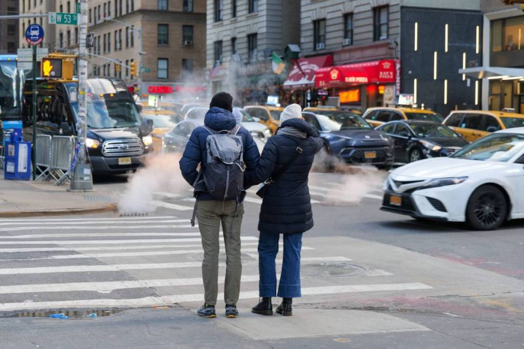
New York City avoids the frost, but if you’re commuting from or traveling through the mid-Hudson Valley, central New York, or Orange and Putnam counties, you’ll definitely feel the freeze. Frost advisories are also in effect for inland areas of southern Connecticut and Sussex County, New Jersey.
Fortunately for New Yorkers, the cold snap is strictly temporary.
By Thursday, temperatures across the region expected to push comfortably into the 70s.
High pressure will keep the tri-state area mostly dry and seasonal through the start of the weekend, with the next chance of rain not expected until Sunday night.